Map previewCadastral lotMap
Example of a selected parcel
- SearchAddress or lot
- RepresentationShape and position
Search an address or cadastral number in Matane to identify the lot, view its position and continue to the available property records.
The Quebec cadastre remains the official source. A cadastral plan represents parcels for land-publicity purposes; it does not by itself establish physical property boundaries.
Example of a selected parcel
Search an address or lot number in Matane
Select the correct result to open the property and locate its parcel.
Understand the cadastre
There is no separate municipal cadastre for Matane. The Quebec cadastre is the province-wide public register that represents land parcels on a plan. This local page helps you begin the search within Matane.
The cadastral representation helps locate a lot and understand its relationship to neighbouring parcels. For a legal conclusion about boundaries, title or an encroachment, the appropriate documents and a land surveyor’s opinion may be required.
Lot and cadastral plan in Matane
For a property in Matane, cadastre information has a precise role: identify the lot and represent it on the territory. Immocalcul then connects that reference to other available property information.
Search by address in Matane
In Matane, a civic address can change, include a unit or cover more than one lot. Start with the address, confirm the property and keep the cadastral number as the stable reference for the next steps.
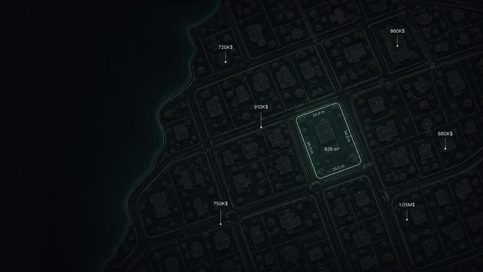

Example of a selected parcel
Cadastral parcels in Matane
Within Matane, the plan shows the lot’s shape and position in relation to neighbouring parcels. Immocalcul connects it to its cadastral area and measurements available across Quebec.
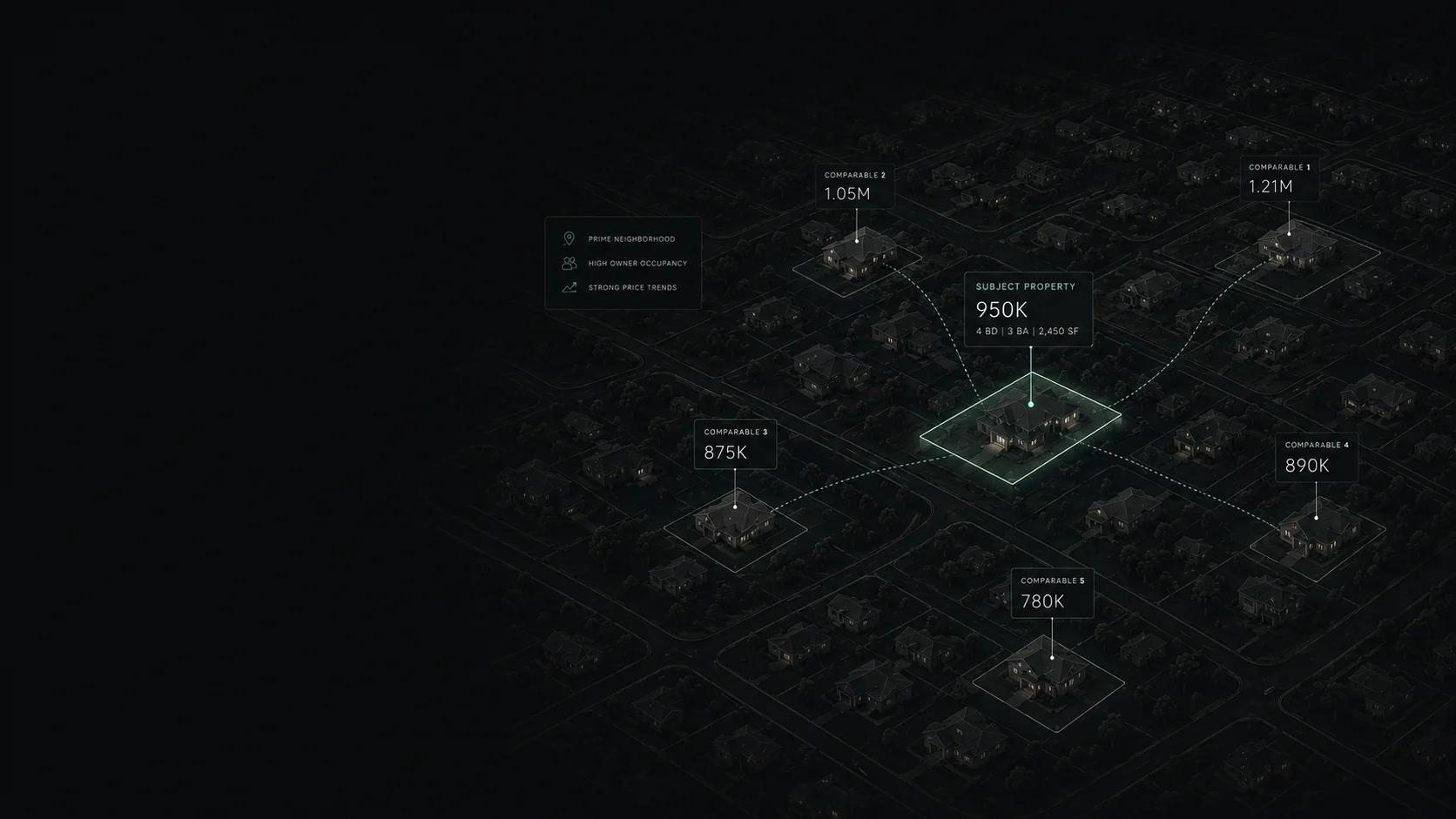

Real property example selected in Matane
Area and dimensions in Matane
Immocalcul presents the cadastral area and measurements of the selected parcel in Matane, as it does across Quebec. They help interpret the lot but do not replace a certificate of location or boundary survey.
A direct cadastral search
The goal is to move from the information you already have to the cadastral identifier required for deeper property research.
Beyond the cadastre
Move from the lot to the property, then review the municipal, transactional, regulatory and environmental information available for that address.
Lot
Cadastral identifierLand
Area and characteristicsMunicipal assessment
Value on the property rollTransactions
Available property historyZoning
Available municipal informationRisks
Available map layersData attached to the parcel
Immocalcul clearly separates the lot’s cadastral measurements from municipal assessment and legal information.
The distinct cadastral identifier used to target the property.
The parcel’s representation and its relationship to neighbouring lots.
The cadastral area and parcel measurements connected to the lot.
Concordances or replaced lots when that information is available.
Do not confuse the records
The lot number connects the sources, but the information and legal effect of each source are different.
Locates and represents the lot: its number, shape, position and cadastral measurements.
Describes the municipal assessment unit, building, land and assessed values.
View the property rollProvides registrations and acts concerning sales, mortgages, easements and other published rights.
View the Land RegisterIndicates the uses, standards and regulatory possibilities applicable to a property according to the available data.
Infolot
Infolot is the official tool for consulting the Quebec cadastral plan. Start in Immocalcul with an address, identify the property and lot number, then continue to Infolot when the official cadastral plan is required.
A plan to interpret
Do not use an online parcel representation alone to place a fence, settle an encroachment or establish a legal boundary. Consult a land surveyor and the appropriate documents when the conclusion affects your rights.
For professionals
A cadastral search is often only the beginning. Immocalcul puts the land and property back into context using the available data.
Compare the land, building, history and available constraints before investigating an opportunity further.
Quickly retrieve the lot, characteristics, assessment and available property information around an address.
Analyze a parcel with available cadastral, regulatory and environmental data.
Cadastral questions
Enter its civic address in Immocalcul, select the correct property and confirm the associated cadastral lot.
Start with an address or lot number, confirm the parcel, then open official Infolot if the official cadastral plan is required.
No. The Quebec cadastre is provincial. Municipal limits help target the search, but the cadastral plan is not a separate municipal register.
Use the property search, check the municipality and address, then keep the displayed lot number for the next steps.
Infolot is the official Quebec government cadastral-plan service. Immocalcul can help identify the property and lot before you open it.
A cadastral representation does not by itself establish a physical or legal boundary. A land surveyor and the appropriate documents may be required.
Select the correct lot in Immocalcul to view its cadastral area and parcel measurements. These figures do not by themselves establish a legal boundary.
The cadastre identifies and represents the lot. The property roll describes the municipal assessment unit and its assessed values.
The cadastre represents lots on a plan. The Land Register contains registrations and documents concerning rights published against those lots.
Yes. Subdivision, replacement or cadastral renovation can lead to a new lot number. A concordance may connect the former and current references.
After identifying the property, consult its available transaction history and the Land Register for the published registrations and acts.
No. Infolot remains the official cadastral-plan consultation tool. Immocalcul simplifies the address-to-property-to-lot path and connects other available data.
Continue nearby
Open another municipality to begin with a local address or lot number.
Local property data
These figures come from residential records analyzed in the municipal property roll. Only available and valid values are displayed.
The residential property-roll profile for Matane contains 4,978 properties analyzed. The median land area among records with a valid area is 697 m².
House is the most common residential type in the analyzed roll, at 82.3 %.
Land in Matane
The distribution uses residential records with a valid land area. The percentages are calculated on that known-area sample only.
4,978 properties with a known land area · Residential property-roll data

Real estate data API
Connect your applications to Immocalcul to search properties by address or cadastral number and enrich your real estate workflows with available data.
Start with the parcel
Search by address or cadastral number, confirm the parcel and continue with the available municipal, historical or land-register information.